-
Civil Engineering Services
Structural engineering and design. Roads and road engineering. Drainage and stormwater. Resident engineer monitoring. Project Management.
-
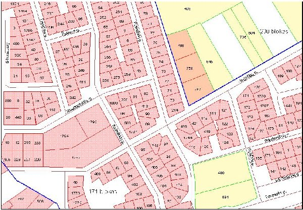
Cadastral Surveying
Subdivisions and consolidations of erven. Relocation of boundary beacons. Surveying and preparation of diagrams for Servitudes. Sectional Title surveying. Setting out of Townships.
-
LiDAR Surveying
Road Mapping direct from LiDAR. Cross Section Extraction. Water flow analysis. Asphalt Slope Analysis. Detection of rutting and potholes.
-
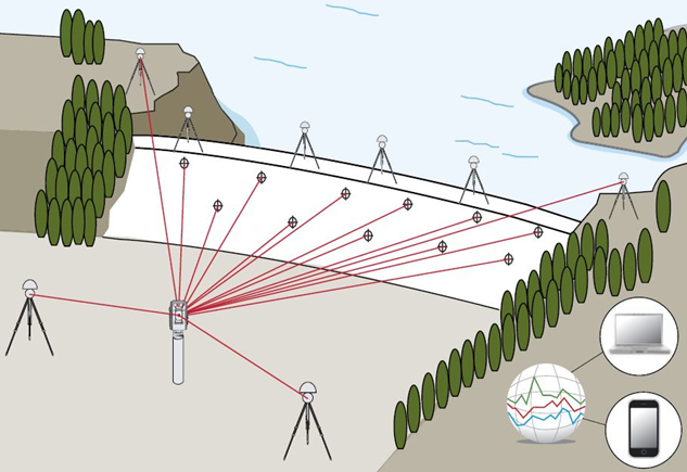
Deformation Surveying
A survey to determine if a structure or object is changing shape or moving. The three-dimensional positions of specific points on an object are determined, a period of time is allowed to pass, these positions are then re-measured and calculated, and a comparison between the two sets of positions.
-
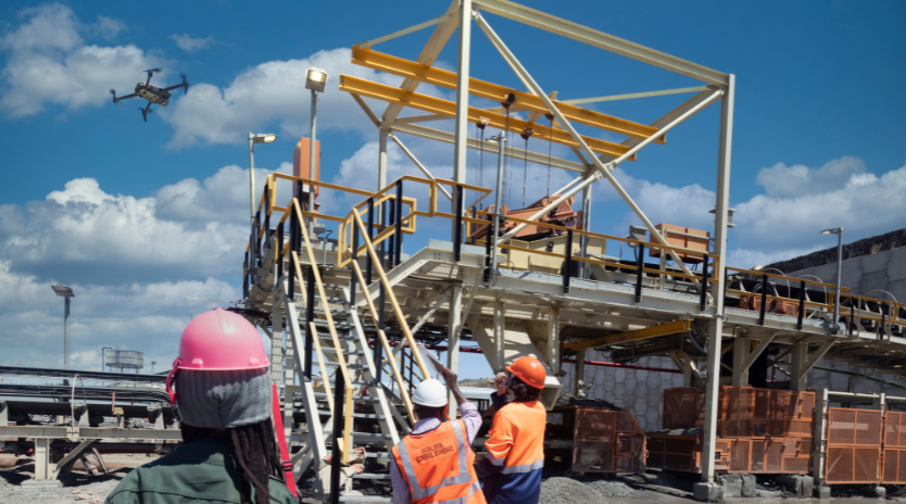
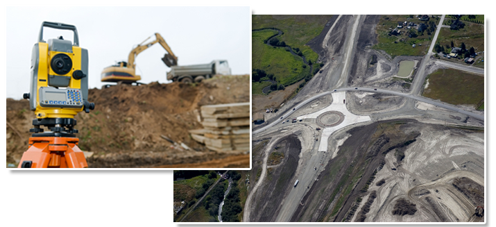
Engineering Surveying
Those surveys associated with the engineering design (topographic, layout and as-built) often requiring geodetic computations beyond normal civil engineering practise.
-
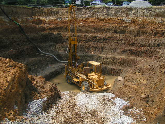
Geotechnical Services
Geotechnical site investigations.Foundation investigation and settlement analysis.Slope stability analysis of natural and cut slopes.Construction materials and resource evaluation.Road, rail and pipeline route planning and investigations.
Dolomite Stability Investigations. Geographic Information Systems (GIS). Ground Water Services. Mineral Exploration.
-
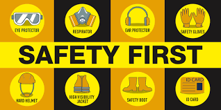
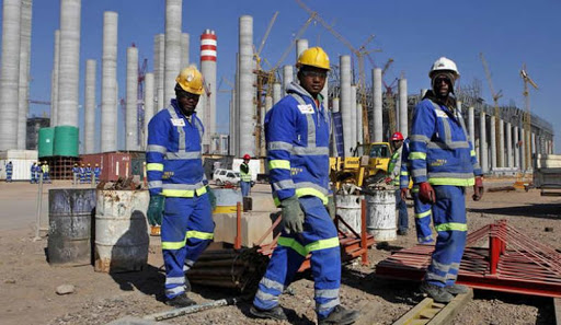
Occupational Health and Safety
Implementation of Occupational Health and Safety Act. Risk Assessment.Training and Awareness.
Safety audit. Safety Plans. Safety Files.